Yesterday I had thought about doing the drive up Mount Washington but I had looked at the current conditions, which were visibility of 1/6 of a mile, fog and 65 mph winds. During the night they had had winds of 124 mph. Not looking good. As well it was Memorial Day and there would be more people.
It is said that Mount Washington has the worst weather in the world, although I think some of the guys in the Antarctic stations might argue. Certainly it is the worst in the USA. More than 100 days of the year they have greater than hurricane force winds. The highest wind speed ever measured on Earth was here as 231 mph. Even on the hottest summer days at the bottom you will need at least a jacket if not more at the top. The weather can also change very quickly for the worst. There is a display at the top of a long list of hikers that ignored the weather and died.
This morning, however, the current conditions were visibility of 100 miles, no wind and a temperature of 0C, rising during the day. Perfect, off we went.
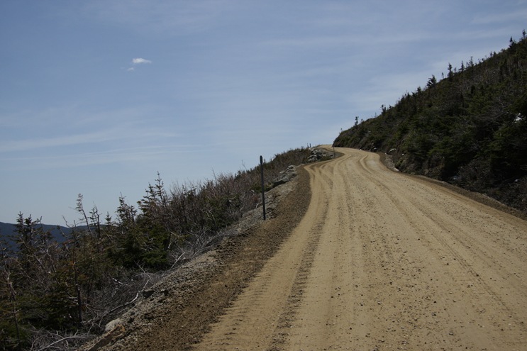
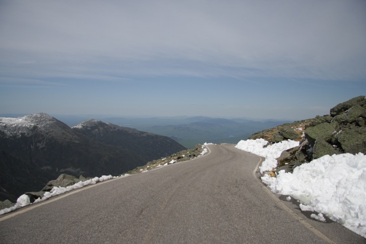
There are 4 ways to the top. Taking the Cog Railway, hiking, taking a shuttle bus up the road or driving yourself. The 8 mile long road is privately owned and it costs about $33 for a car and 2 people to drive to the top. Since the road is narrow they don’t allow any large vehicles. Even some of the larger pickup trucks are not allowed. Also your vehicle must have a low gear that it will stay in because due to the steepness of the road (average 12% grade) you must drive up and down in first gear.
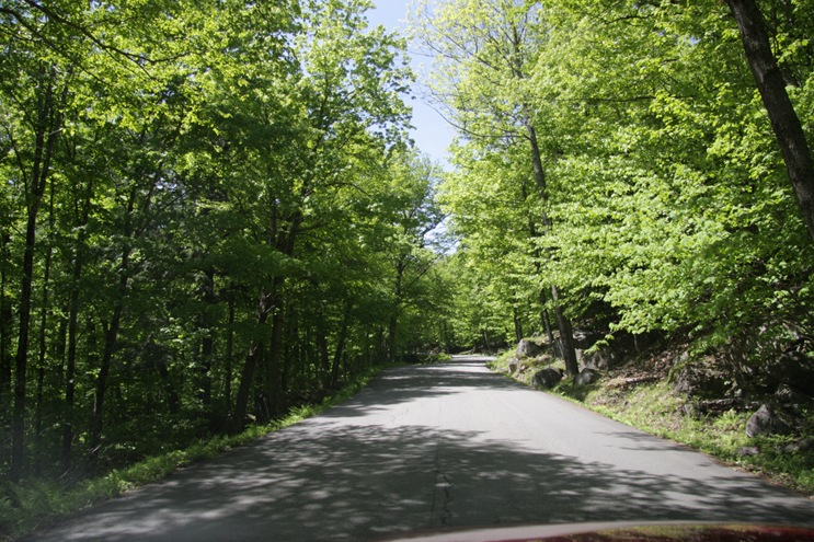
You couldn’t see much on lower sections.
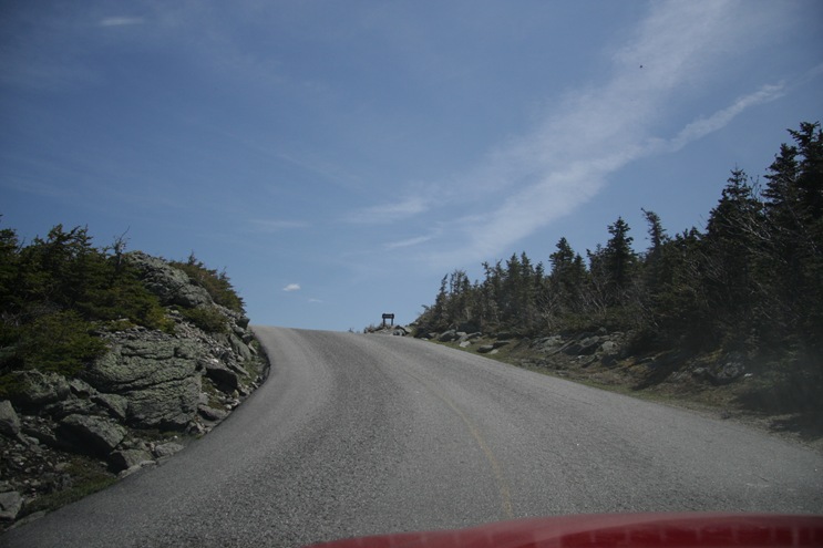
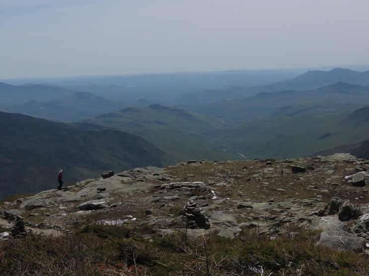
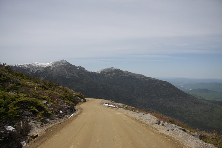
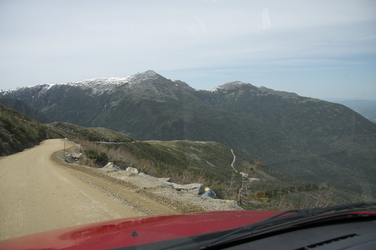
Once you got up high enough that most of the trees were dwarf sized we got better distance views. There are plenty of turnouts on the road, mainly a a place for people (that don’t know what they are doing or are nervous) to let their brakes cool down on the way down. We stopped at most of the ones that had a view.
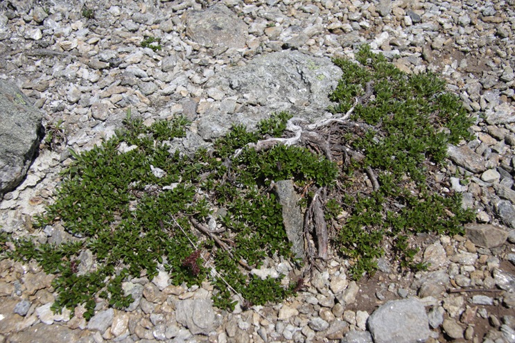
Lots of very low lying plants due to the high winds.
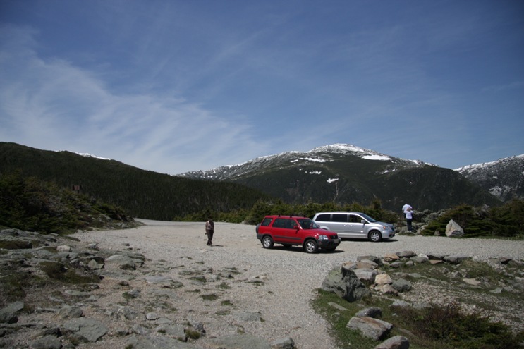
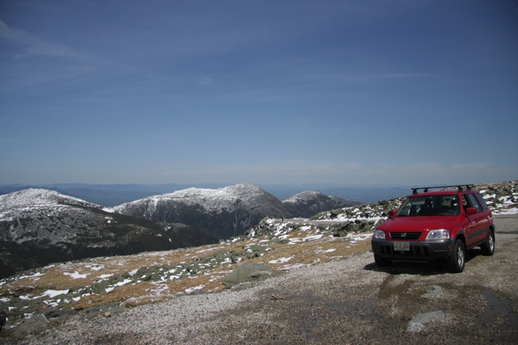
Another stop.
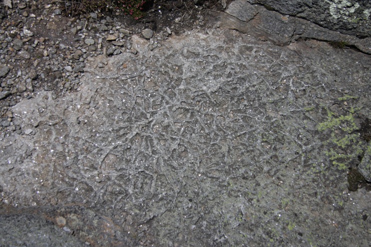
I am not sure what causes this tree like pattern on this rock.
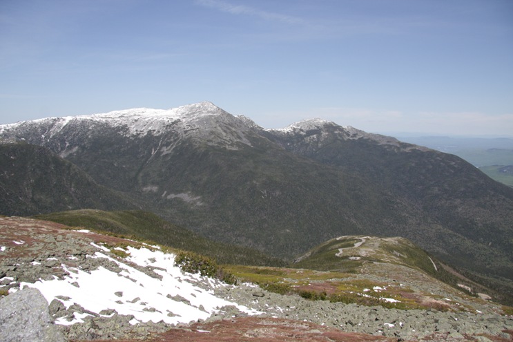
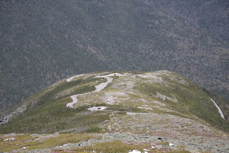
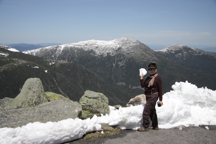
A view back down the road in the lower right in the picture below. Also getting more snow on the ground.
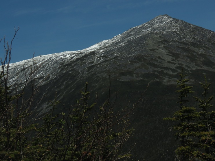
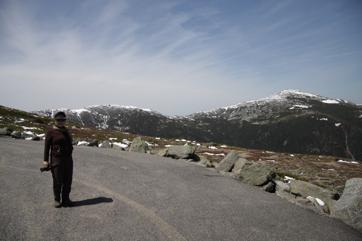
Into the real arctic zone now.
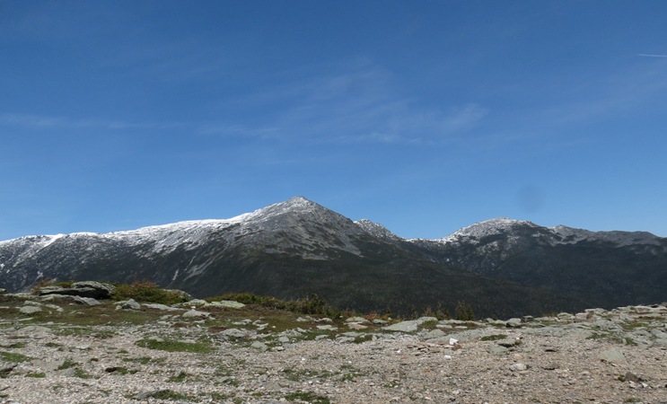
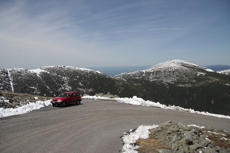
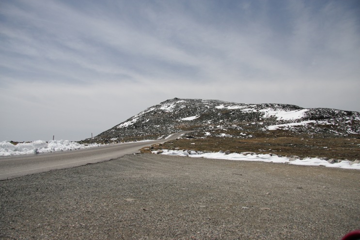
Getting closer.
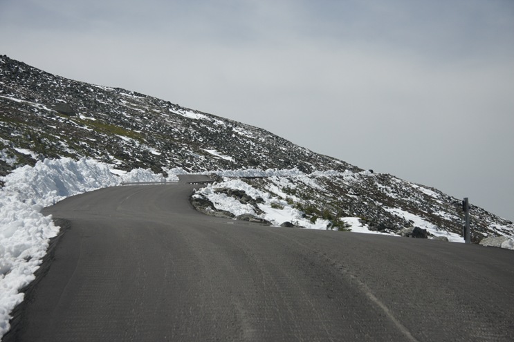
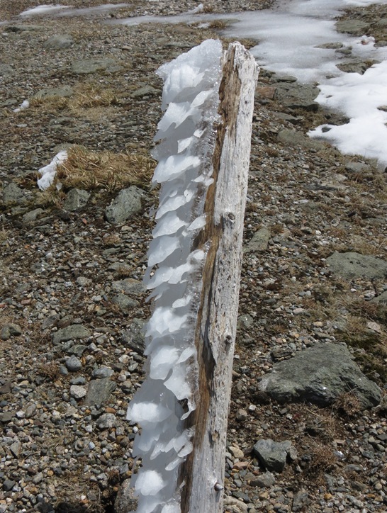
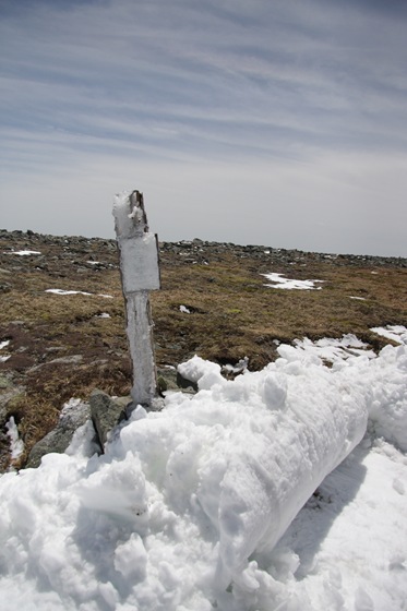
Lots of weird snow formations because of the wind and constant heating and cooling.
Finally at the top. We were comfortable in light jackets. The wind stayed very calm.
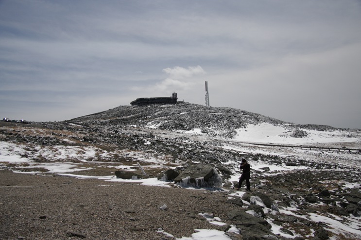
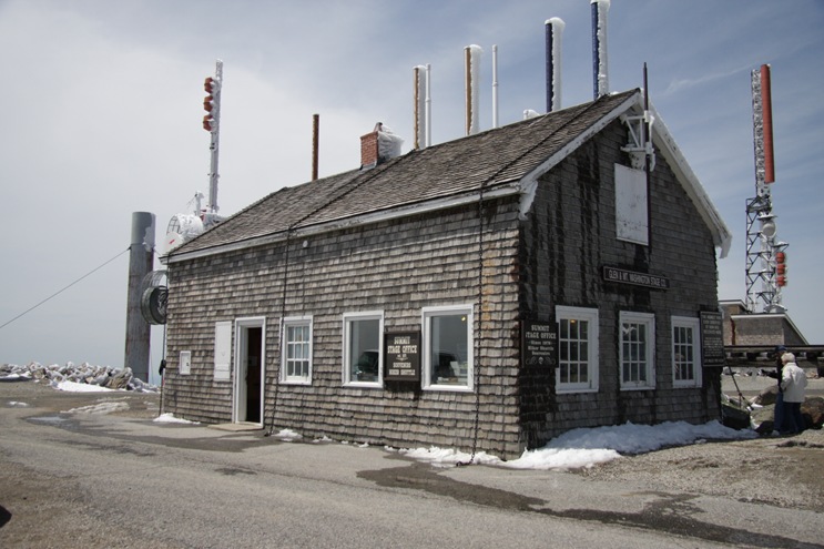
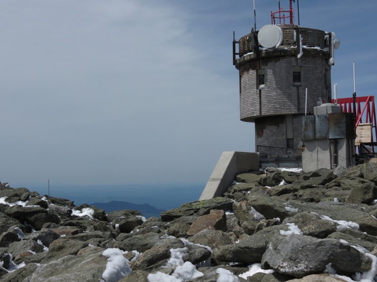
This is the original weather observatory. Notice the chains over the roof to keep it in place in the wind.
The mountain peak is part of the Appalachian trail (and many others). The stone building below used to be an overnight hut for the hikers.
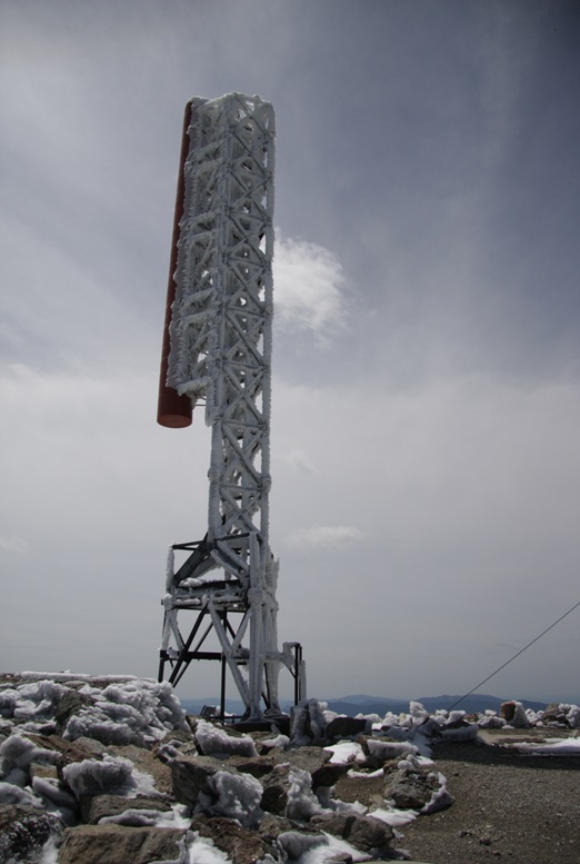
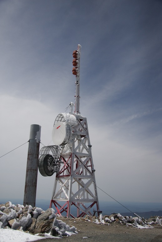
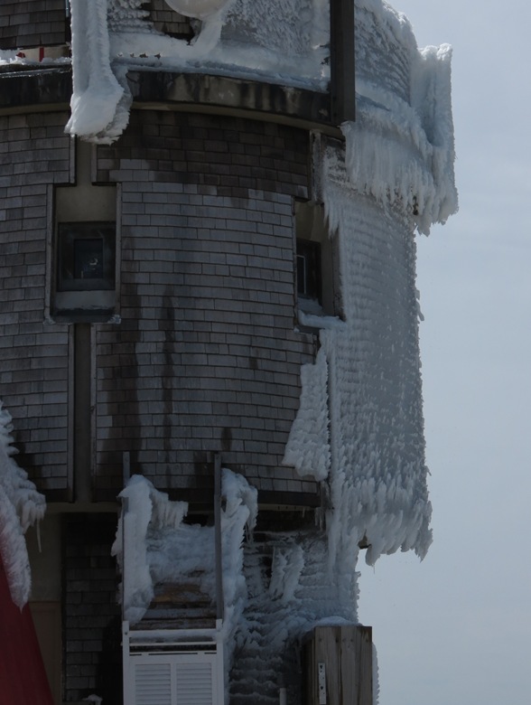
Lots of snow/ice encrusted antennas. Due to the sunny weather, the ice kept crashing down all day.
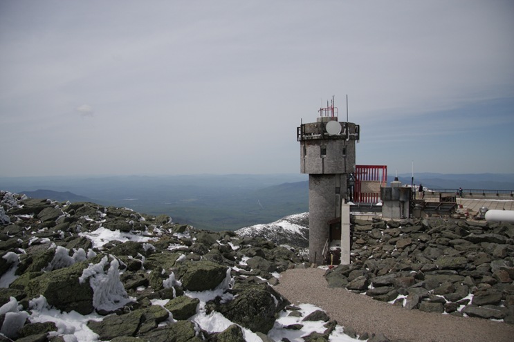
This is the new weather observatory. It looks like a little fortress. It is manned 365 days a year by two teams, in week long shifts. Notice the tiny and I guess shatterproof windows.
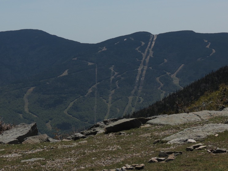
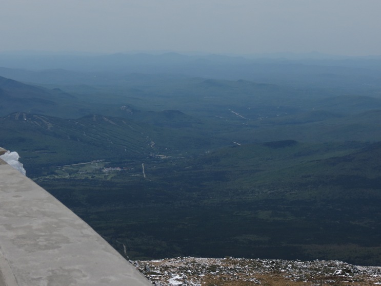
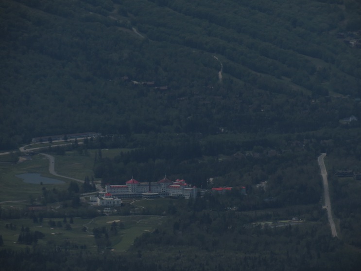
A view back down to the resort that we took the picture of yesterday.
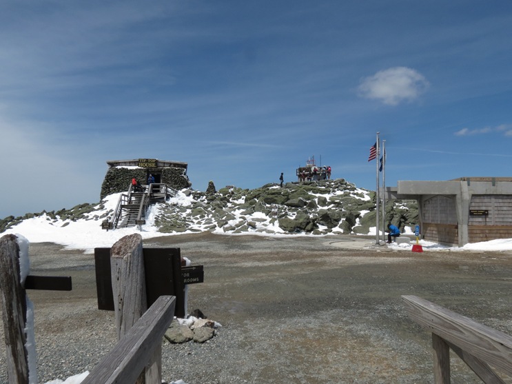
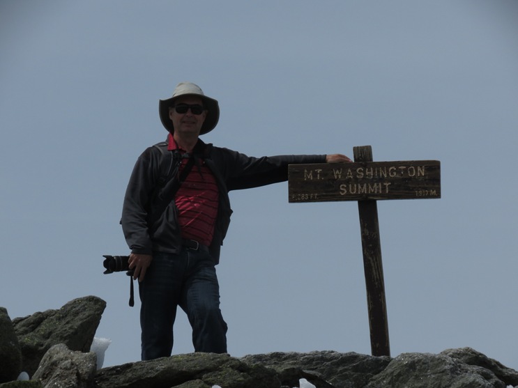
The very top.
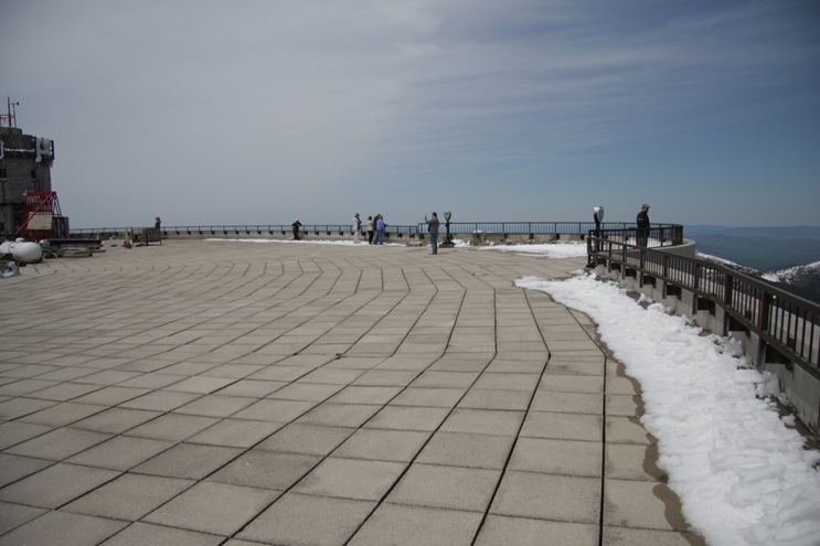
It must get very crowded here because the observation deck was huge.
I saw a guy much more afraid of heights than Jennie. His girlfriend was at the railing and he was literally on hand and knees, in the middle of the huge deck, trying to crawl over to the edge. He couldn’t do it and they had to leave. I so wanted to take a picture but I felt bad for him.
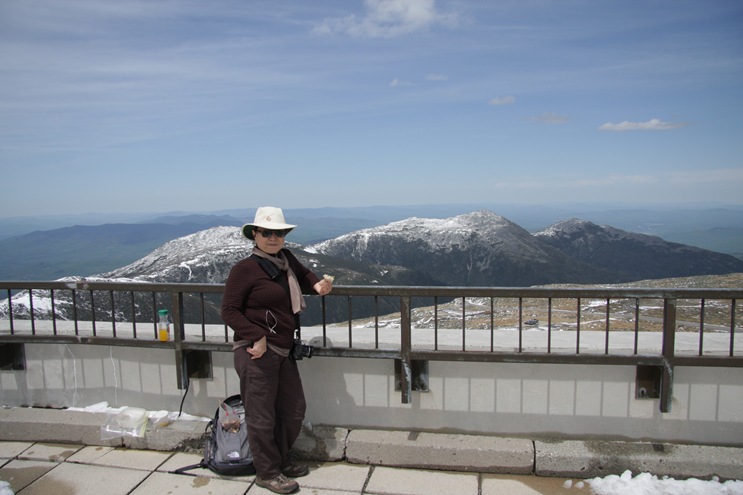
We had lunch here.
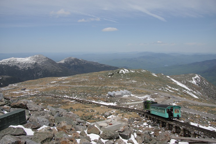
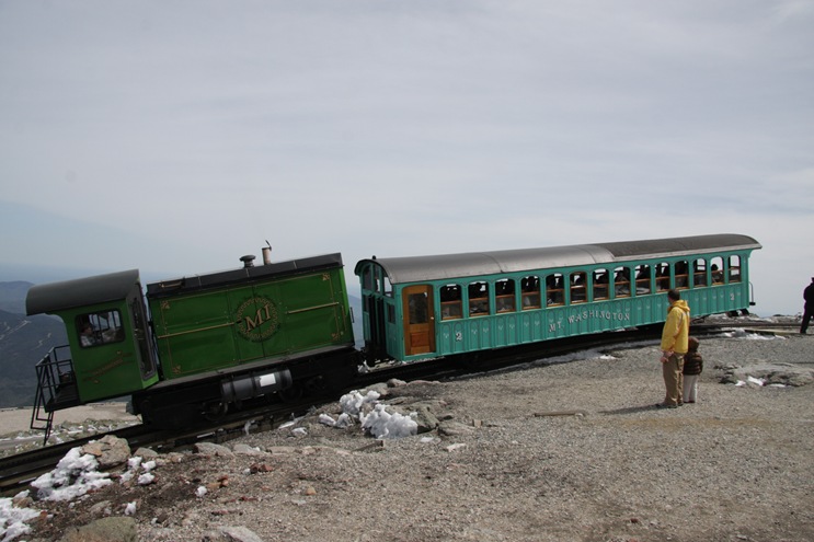
Then we wandered around and looked at the museum until the railway trains came up.
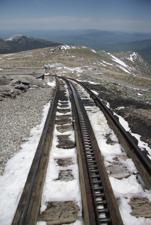
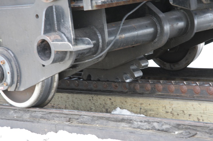
Here is the track with the center section for the train to grip.
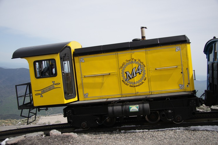
Each wheel on the engine and passenger car had a gear.
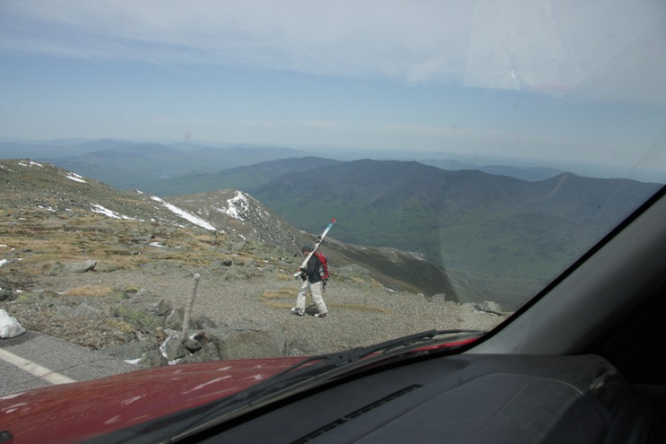
We noticed some guys with skis. We couldn’t see any big enough patches of snow but I guess there must have been some.
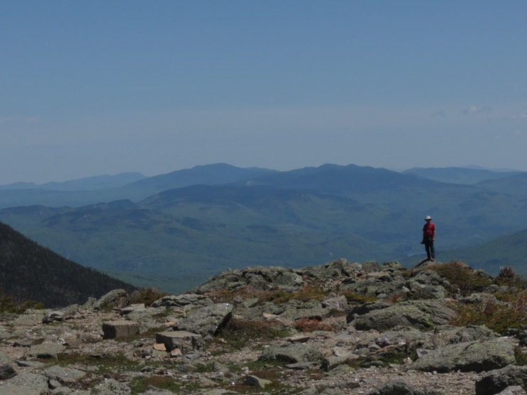
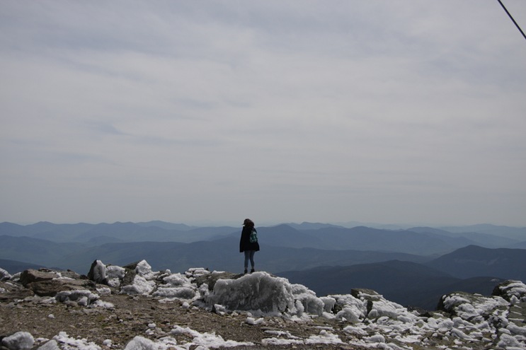
A last look around before we headed down.
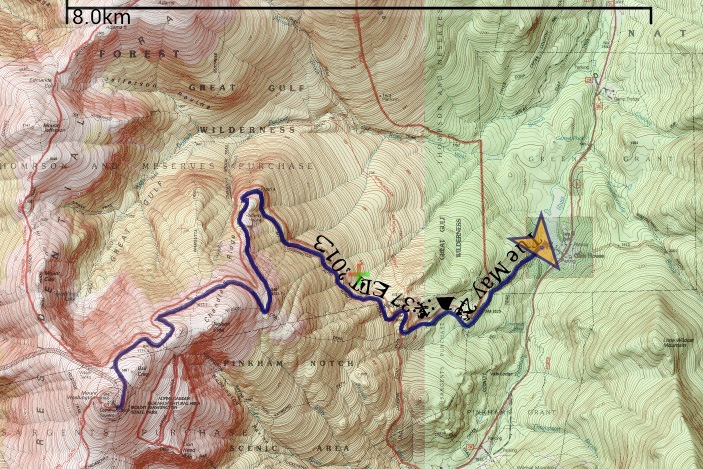
Here is the GPS log of the trip. You can see that it a pretty smooth constant grade. The road was built long ago, mostly by hand and before dynamite. The Army Corp of Engineers at one time had tried to find a better way up the mountain but concluded that the current road was best.
We may take tomorrow off as Jennie is not feeling well. She has a very stiff neck and is just generally uncomfortable all over. I will probably extend our stay here as there is lots more to see.


No comments:
Post a Comment