Today we headed up yet another dirt road to get above the tree line for one of our best mountain views yet.
I had read about Lost Canyon Road in a couple of other blogs but they had only made it part way. One of them was in a large 4x4 pickup so we didn’t know how far we would get.
I bought a book about the 4wd drive trails in the area. Each trail was graded as easy, moderate or difficult. He gave a sample vehicle for each grade. Easy was a 4wd Ford Escape which is fairly equivalent to the CRV. Moderate was a Jeep Cherokee with all terrain tires and a skid plate. Difficult was a fully tricked out Jeep Wrangler.
The road we did yesterday was rated easy as is the lower section of Lost Canyon so we knew we could at least get that far. The upper section is rated moderate. I had alternate plans if we got turned back.
We headed about 10 miles north of the campground on the highway and then headed west into the mountains.
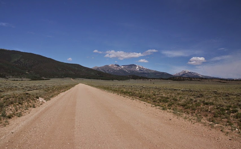
Then we started climbing. At this point we at about 9200 feet. We eventually got to 12,700 feet at the very top (I gave away the ending).
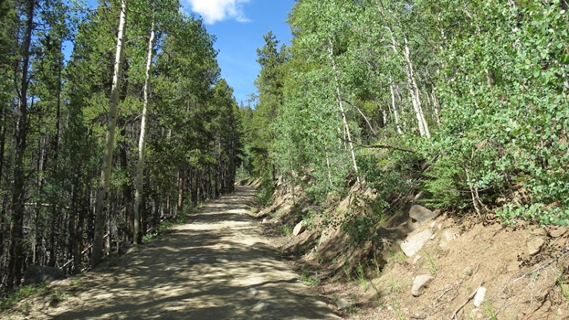
Most of the climb was through aspen and fir with not many views.
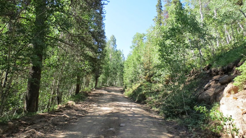
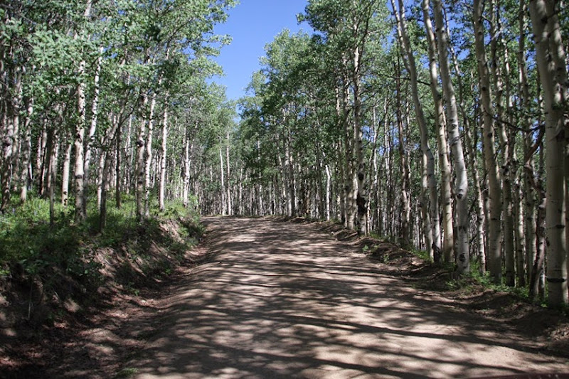
Even the lower part had some deep ruts and exposed rocks so we just took our time the whole way up.
There were a couple of viewpoints along the way.

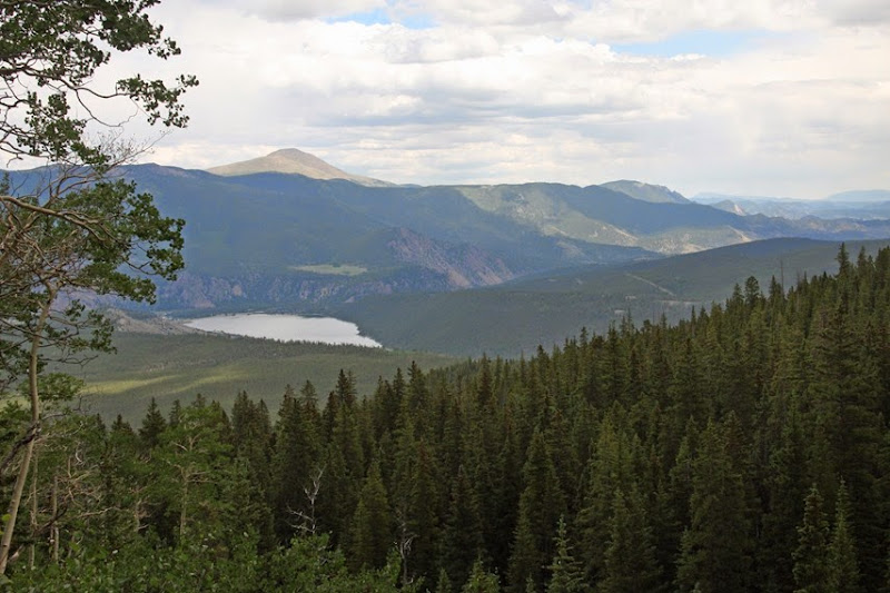
A view of the Clear Creek reservoir that we got on the way down.
After a while the road got narrower, rougher and we were into the serious switchbacks.
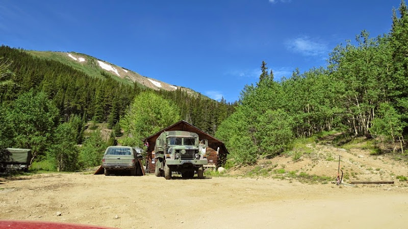
At one corner these people had a house and an army truck that was ready for anything,
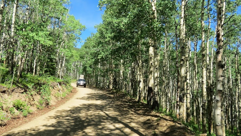
The only vehicle that we encountered on our climb was a pickup truck that seems to have a washer and dryer in the back. There is an active mine farther up the road.
We also passed a mountain biker that we will see later.
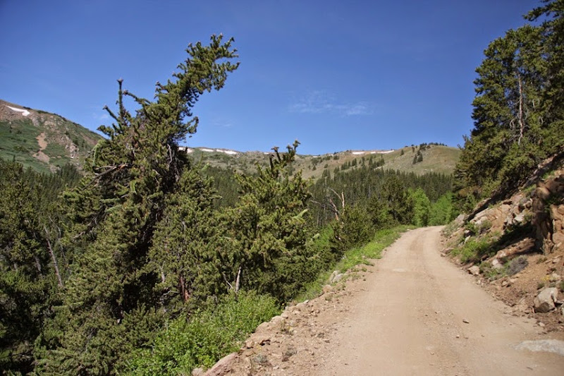
And out of the trees we go.

The picture below shows the end of the “easy” section. This is where the other two people stopped.
If you go left, it takes you to the mine. You can see the building center left.
If you go right, you enter the moderate section and climb to the viewpoints.
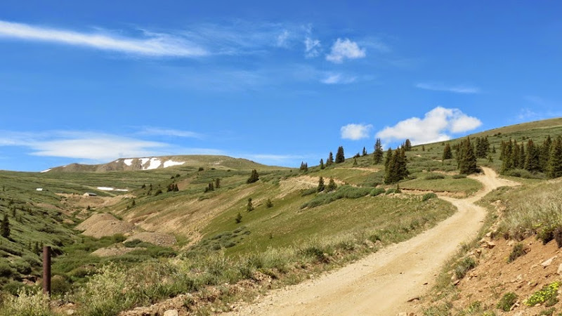
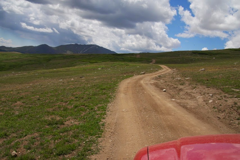
It deserved the moderate rating. The pictures don’t do it justice. It was steep with one section of very sharp rocks. This was my most worrisome part.
It is an out and back trail so anything we went over we would have to do again on the way down. These next pictures are from going up and down.
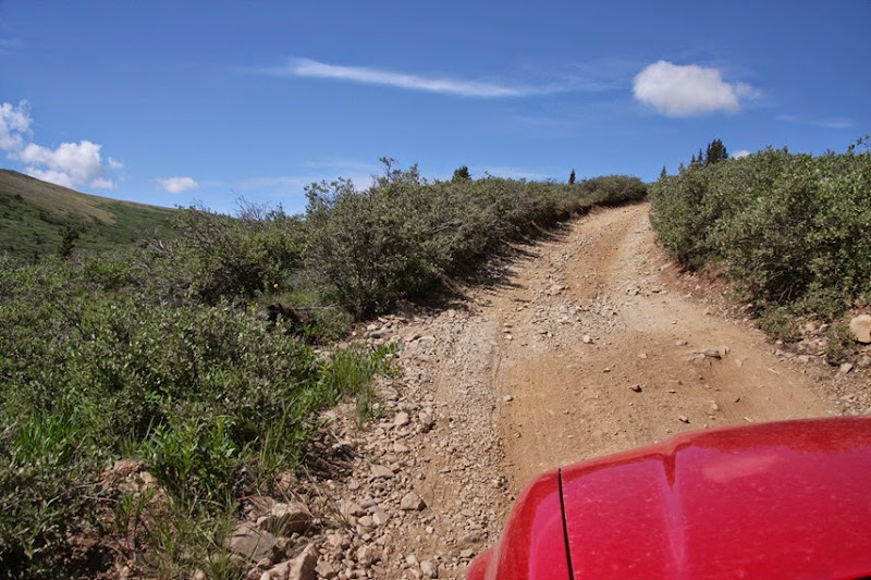
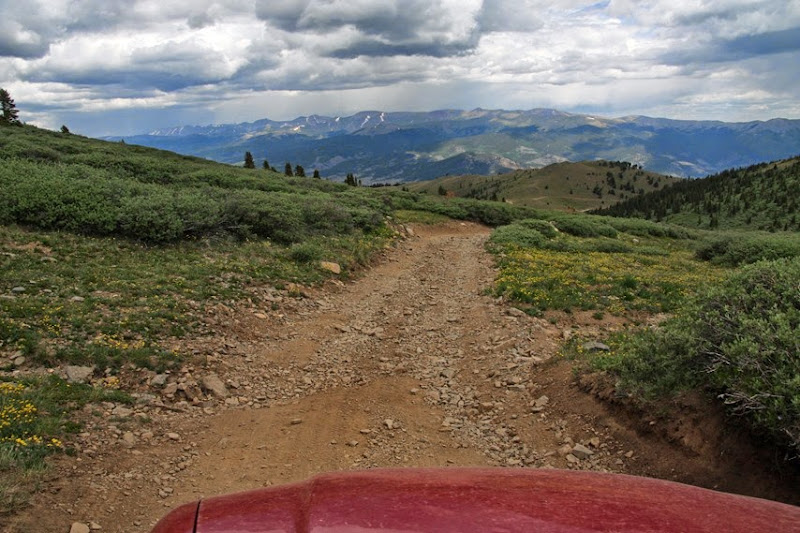
There were lots of spots with rather large exposed rocks. I often had to stop and ponder how I was going to get through without ripping the muffler off.
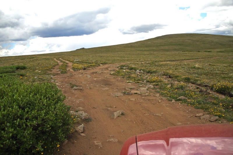
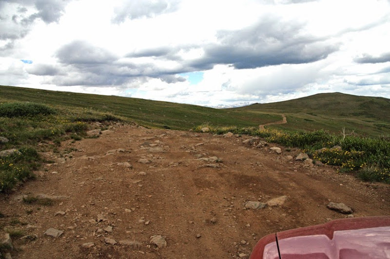
Eventually we got to a small side road that Y’ed out to two viewpoints. They didn’t look to far away so we though we would give the car a break and walk.
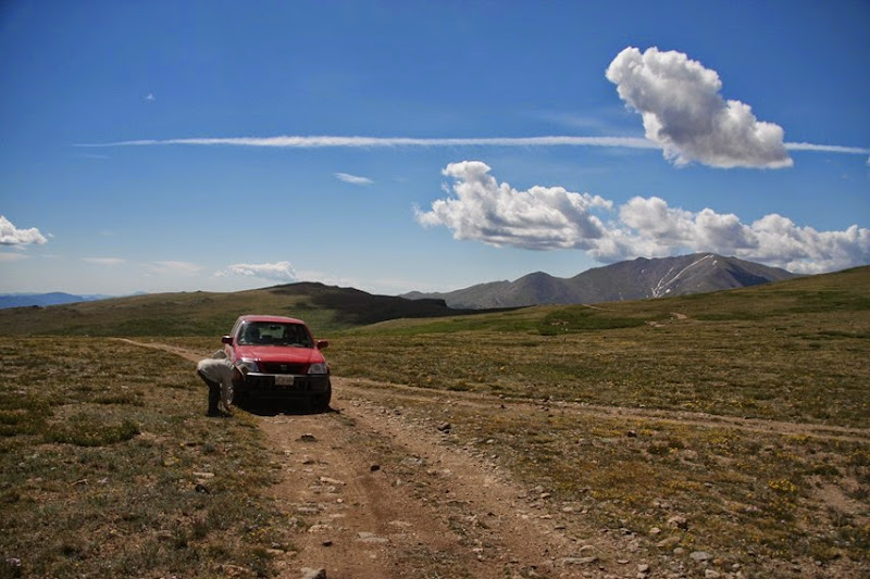
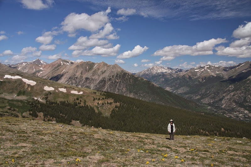
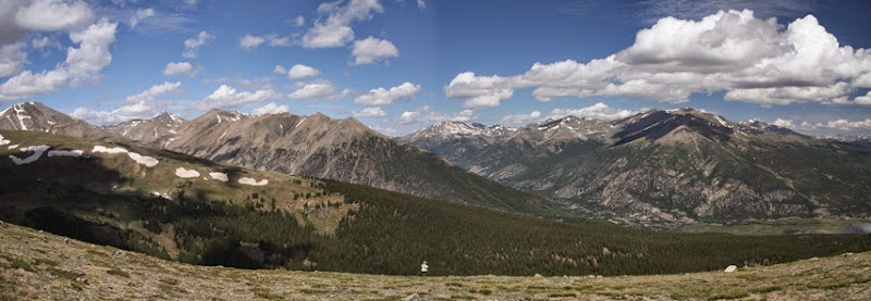
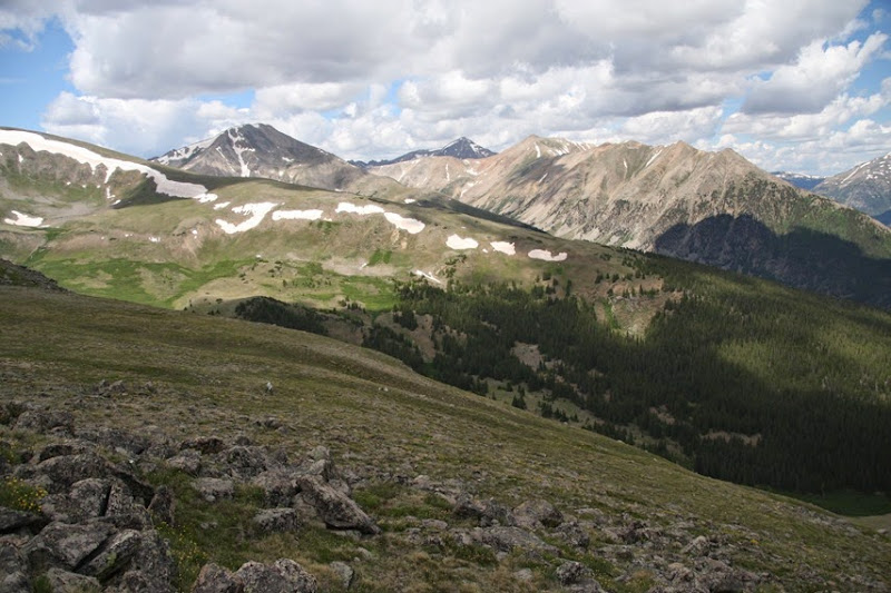
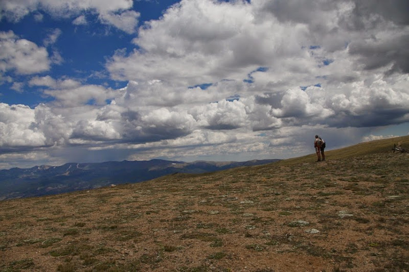
All I can say is Wow!
I will let the large number of pictures do the talking.
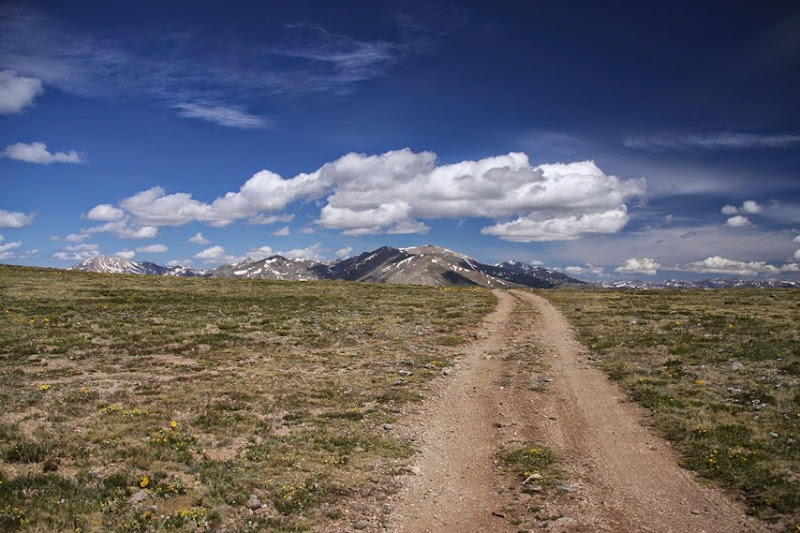
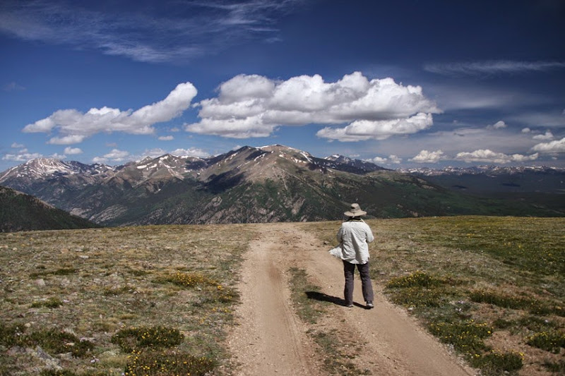
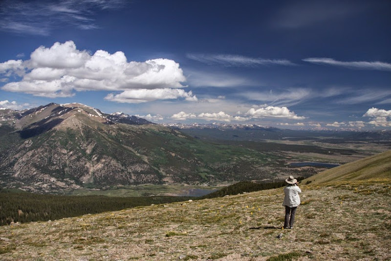
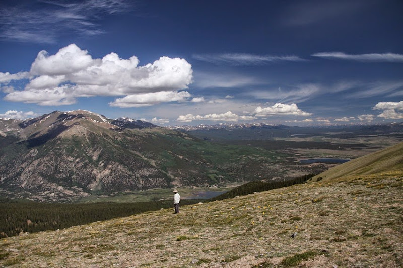
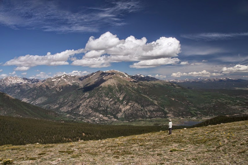
Always a large panorama. You really should click on it to see the full version.
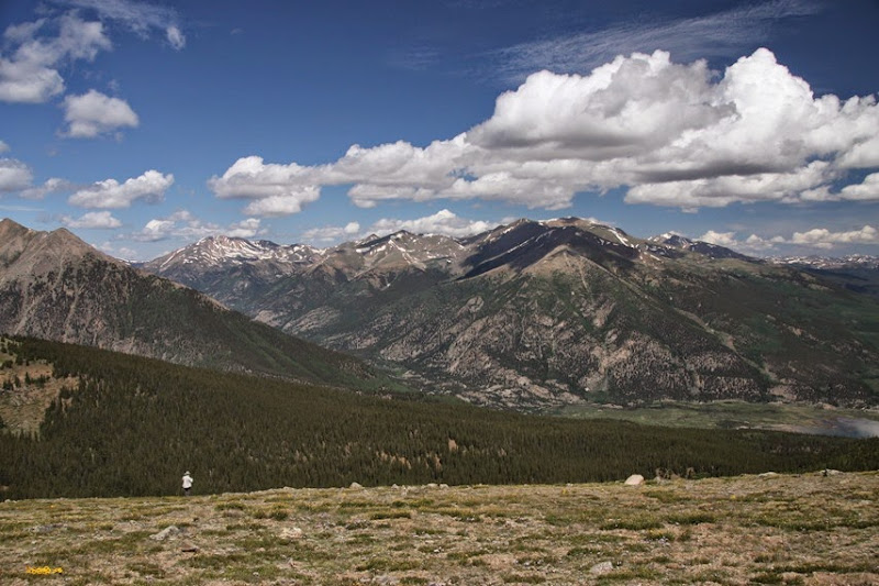
Sorry I couldn’t stop.
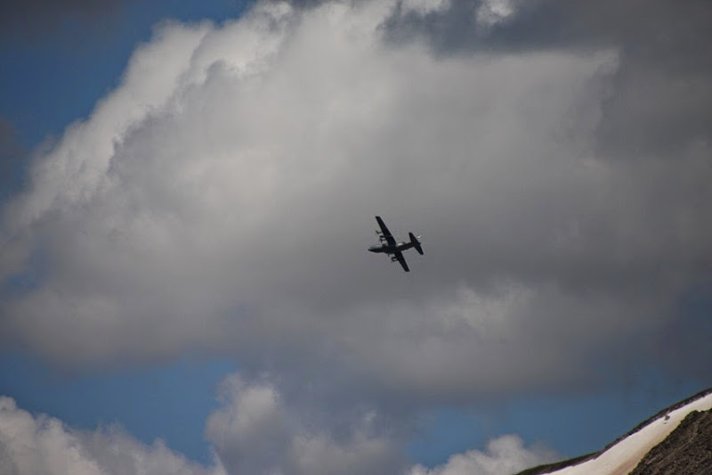
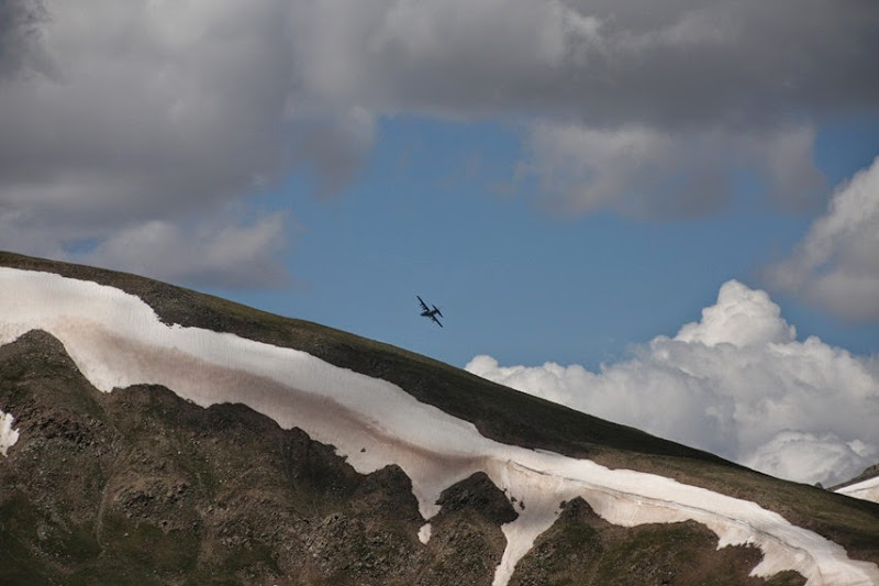
We got buzzed by some planes.
We were joined for a short while by a retired man with a jacked up 4wd van that he stays in. He lives not to far away and does short trips in it.
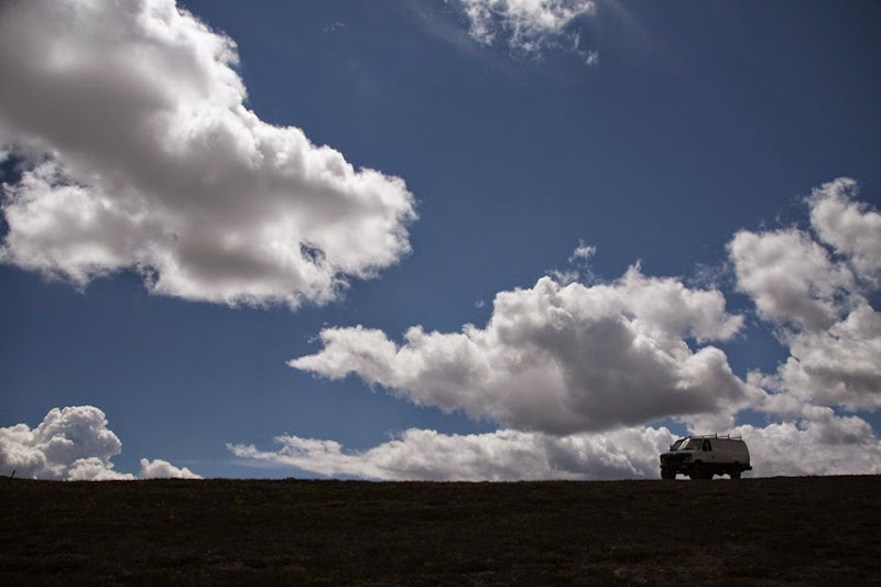
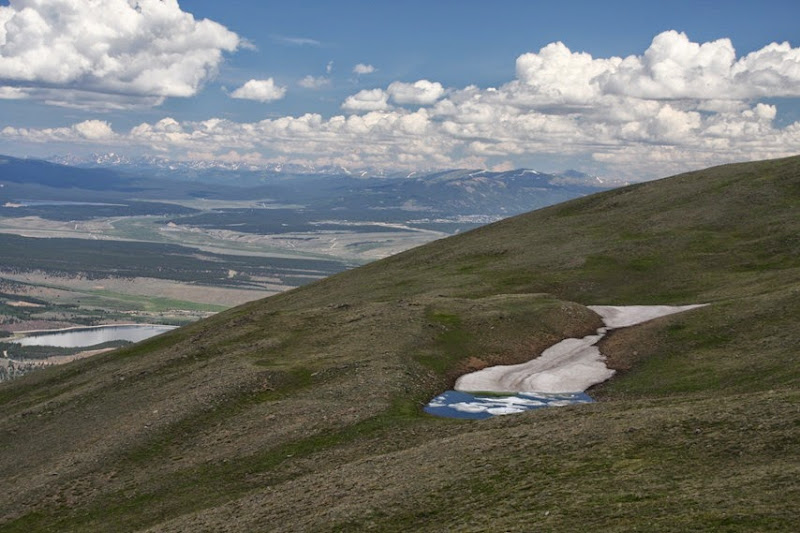
Jennie had seen a patch of snow with what looked like a pond beneath it.
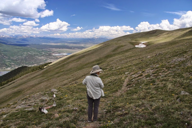
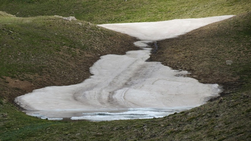
She wanted a better view but that meant climbing. As we are well above 12000 feet, I was elected.
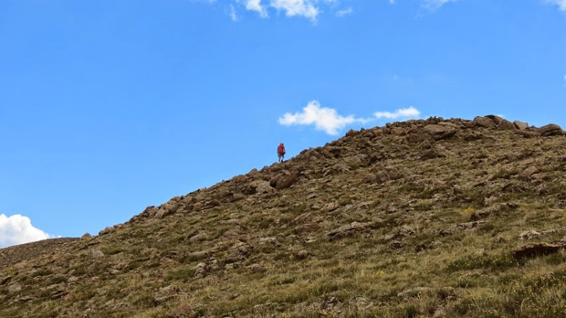
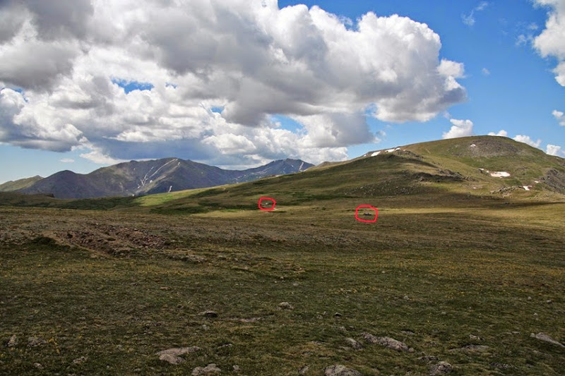
Looking back at her. The white speck just left of center.
Everything looks so small. The CRV and the other guy’s van are in the picture below.
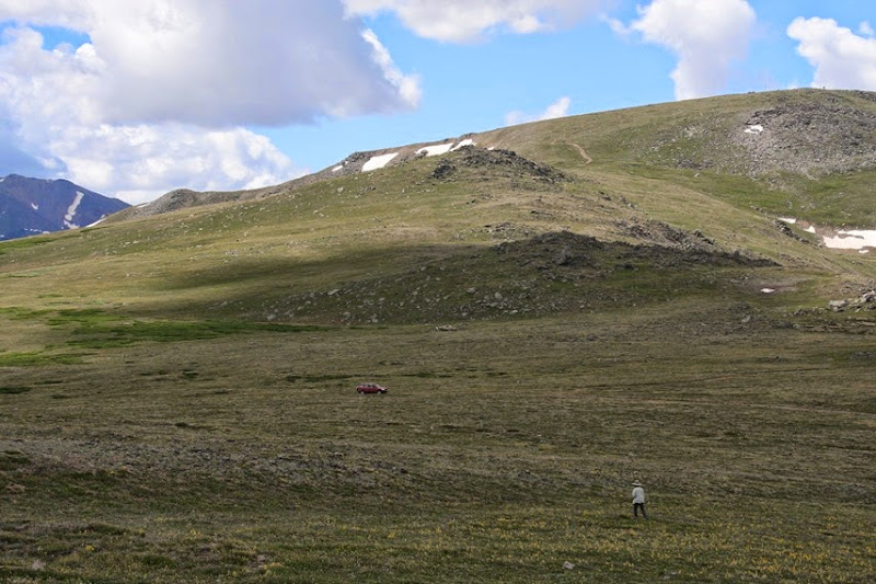
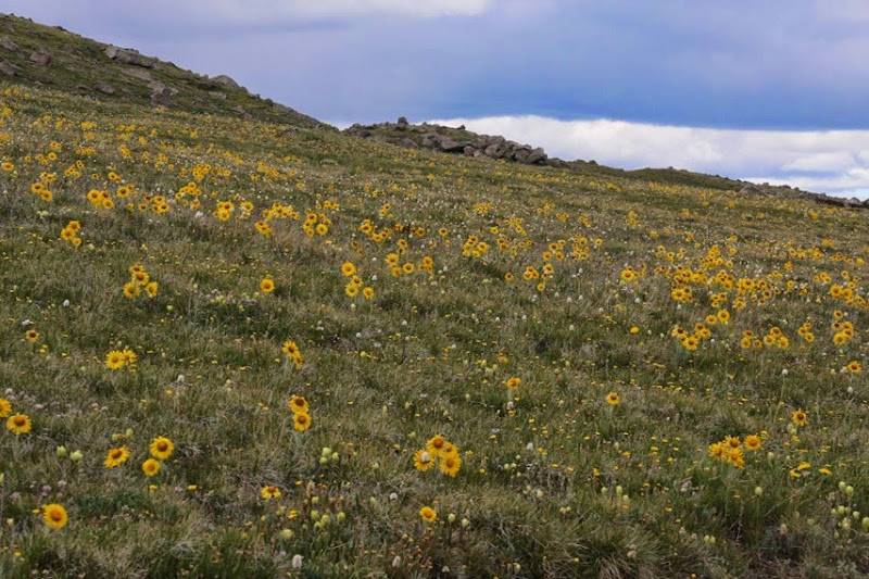
Heading back to the car. The meadow is just covered in flowers.

I walked over to the viewpoint on the other part of the Y. It was not as good.
Looking back at the car I could see the regulation afternoon rain moving in.
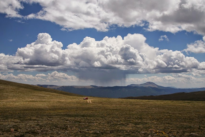
It looks like we are going have to cram everything we want to do into half days if we don’t want to get wet.
With the skies darkening we moved on to the next viewpoint.
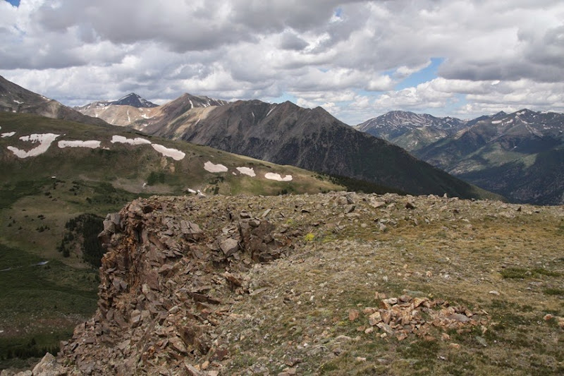
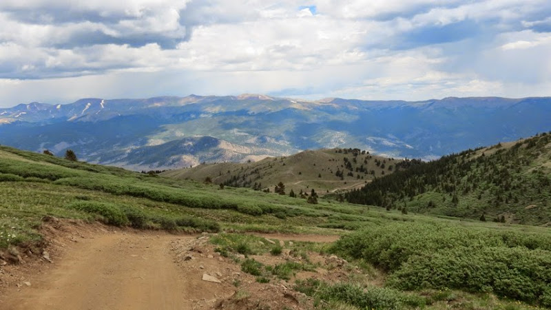
Looking down into the valley that we had driven up.

We had lunch here.
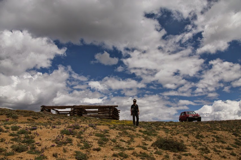
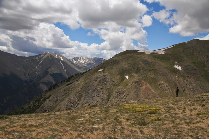
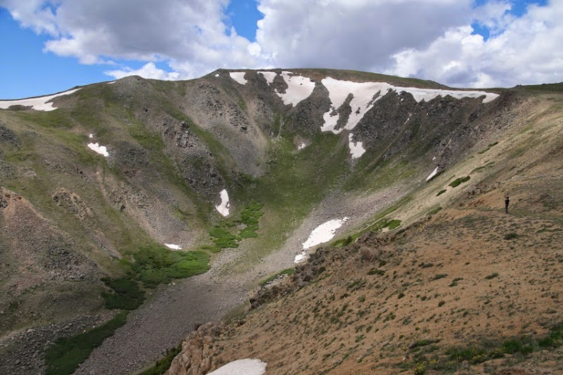

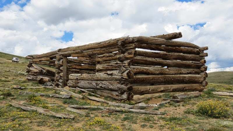
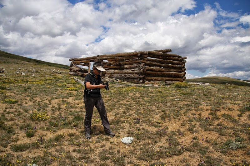
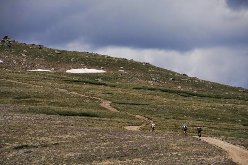
Some mountain bikers made it to the top. I could only dream about being in that kind of shape.
The road continued to another viewpoint but this section was marked difficult.

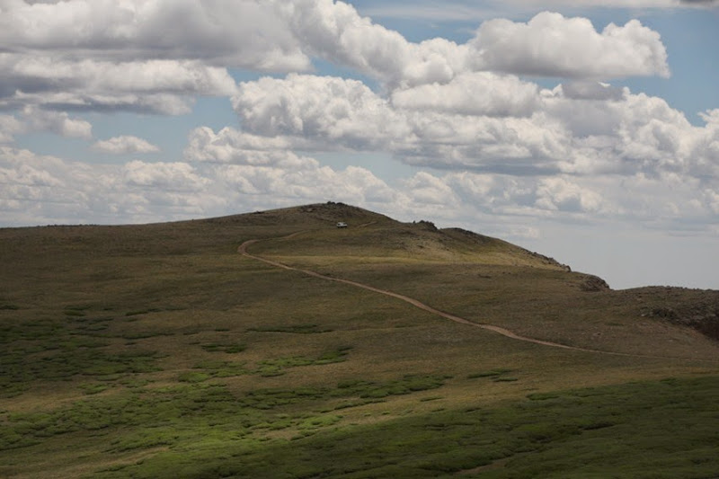
We went a very short way up and stopped when the rocks started looking nasty.
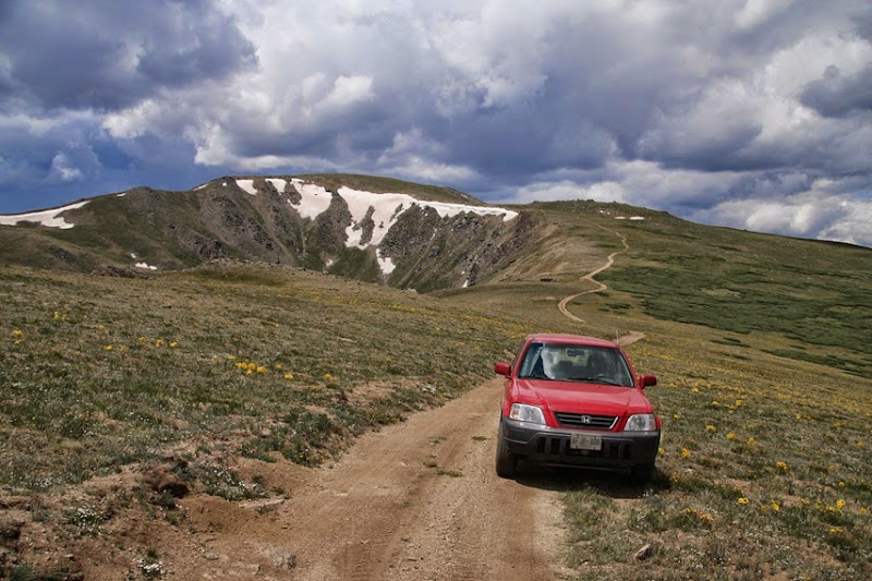
I walked on for a ways but it said the viewpoint was 3 miles away. I got up to the ridge I could see, to see another ridge.
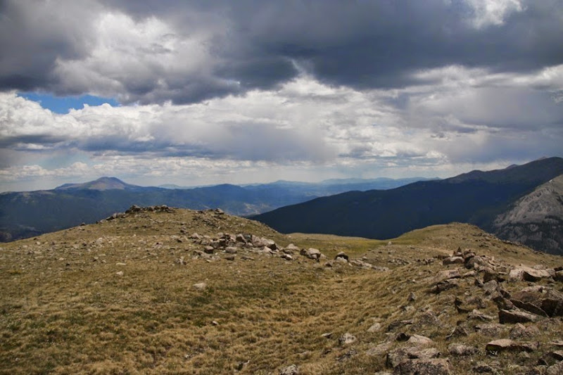
I turned back.
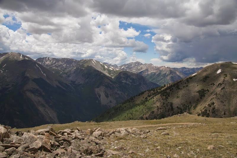
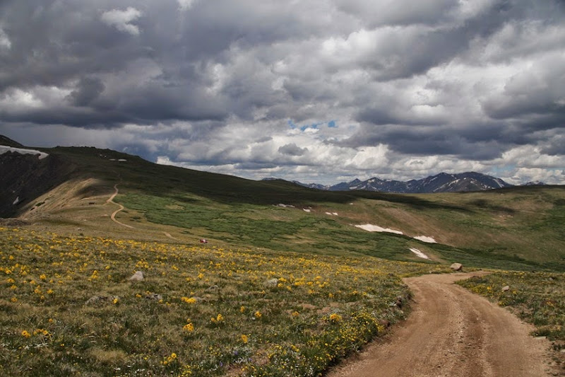
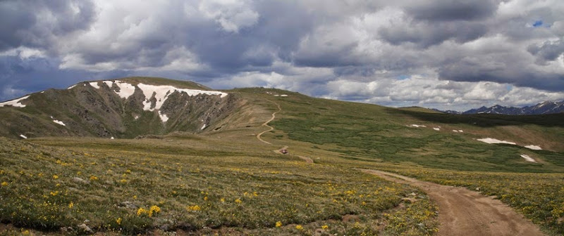
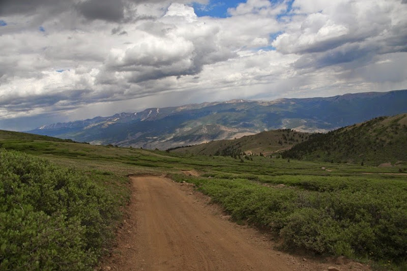
This is the path we have to take to get back down the valley.

The sky is a lot darker. Once again we only got sprinkled on and even then it was while we were in the car.
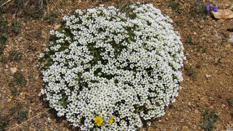
So many flowers.
At every stop I checked the tires.
Made it.
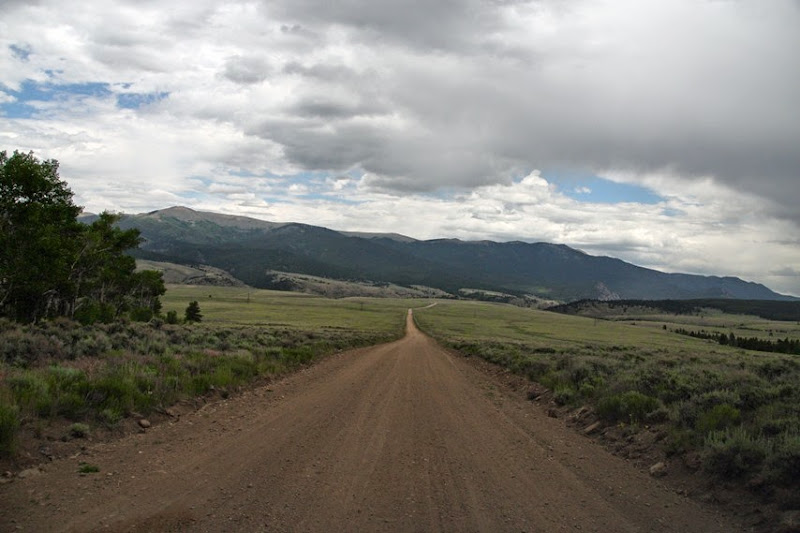
And back to the highway.
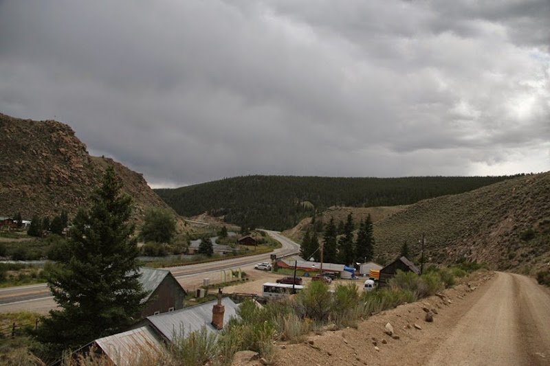
I had been a bit worried that this road might be boring from the descriptions I had read.
Nope!

Spectacular views! Maybe you have a new road category called "nasty"!! :-)
ReplyDelete